Many trails originating in what is now the Kansas City metro area followed the same path until they reached Gardner, Kansas, where they separated. From Gardner, the Santa Fe Trail headed southwest through much of the state. The Oregon and California Trails moved in a more east-northeasterly direction.
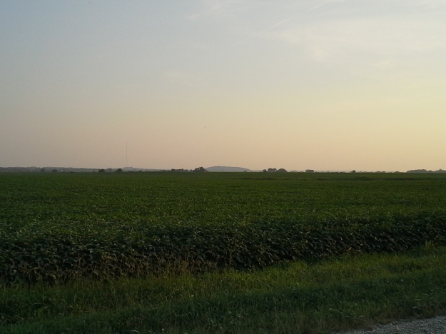
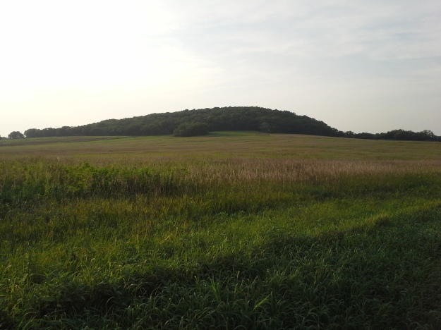
The Oregon Trail had progressed several miles north of the Santa Fe Trail by the time it reached present-day Douglas County. Near Lawrence, just south of the Wakarusa River and 56 miles from the trail’s beginning, is one of the early major landmarks for the Oregon- and California-bound travelers: Blue Mound. Despite the trees and human development, this large hill is still visible for quite a distance; during the 1800s, when the land was still open prairie and the treeline was limited to the Wakarusa riverbank, it would have been visible from many miles away.
After Quantrill’s Raid on Lawrence on August 21, 1863, Major. Preston B. Plumb was at Blue Mound with somewhere between 100 and 250 men, but was unsuccessful at stopping Quantrill’s men, who headed south past the mound and scattered for a successful escape. During this week’s Twitter reenactment of Quantrill’s Raid (which you can still read on Twitter!), Jim Lane criticized Plumb for not taking the offense.
Today, roads surrounding the mound, which is still in a highly rural area, are easily accessible. However, be warned: despite appearing on Google Maps and TomTom as a county road, E 1700 Rd to the immediate south of the mound appears to be a long driveway to private property. To learn more about the Oregon and California Trails, click here.


