
An angel perched on a grave at Mount Calvary Cemetery watches over St. Marys, Kansas.
A few weeks ago, Jim and I were feeling a little wanderlust and decided to drive to a town we’d never before visited. In Lawrence, we parted from the turnpike and found ourselves wandering through towns like Tecumsah and Silver Lake and Rossville.
And then we found ourselves in St. Marys.
St. Marys is an old Kansas settlement. The Jesuits, also known as the Society of Jesus, who had served the Pottawatomie tribe for over a decade in Eastern Kansas, moved with them to what is now St. Marys in 1848. There they established St. Mary’s Catholic Mission, which was a stop on the Oregon Trial. The first cathedral built between the Rocky Mountains and the Missouri River was a log construction that served as the See of Bishop Miege (known as the “Bishop of the Indians”) from 1851 to 1855 (though other sources suggest the first cathedral was in Leavenworth). The land where it stood would serve as a college and Jesuit seminary for many years. Charles Curtis, a Native American who would serve as vice president to President Herbert Hoover (and whose signature appears on the guest registry at the Old Castle Museum in Baldwin City) was baptized at the St. Marys parish in 1860. The U.S. Pottawatomie agency was also located in St. Marys, and the building still stands today.

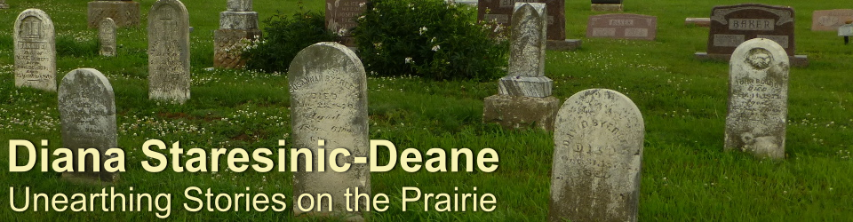
Mount Calvary Cemetery is the final resting place for many of the Jesuits who served the Pottawatomie community in the 1800s.
Today the old college and former seminary belongs to a new order, the Society of Saint Pius X, a Catholic community that has returned to a more conservative interpretation of Catholicism that predates Vatican II. Although we clearly looked out of place–I was wearing jeans on a campus where all of the women wore conservative skirts–we were made to feel incredibly welcome by a community of traditionally garbed nuns, priests, and students who were celebrating the Feast of Christ the King. The congregation was an international one, and we learned that Catholics from all over the world have moved to St. Marys in order to be a part of a religious community that celebrates the Tridentine Mass in Latin as well as send their children to St. Mary’s Academy and College, which uses many of the historic old buildings built by the Jesuits.
Our final stop in St. Marys took us to Mount Calvary Cemetery, which is also known locally as the Jesuit Cemetery. High up on a hill that lets you see miles and miles of the surrounding countryside, the cemetery’s population is strikingly diverse for a small community in central Kansas. A large portion of the graves belong to the Jesuit priests, whose headstones are carved with Latin epitaphs. A large angel looks out over the town far below.


We hope to find our way back to St. Marys. The little town rests upon a wealth of history worth exploring.

Mount Calvary Cemetery at sunset.


